The wet West coast

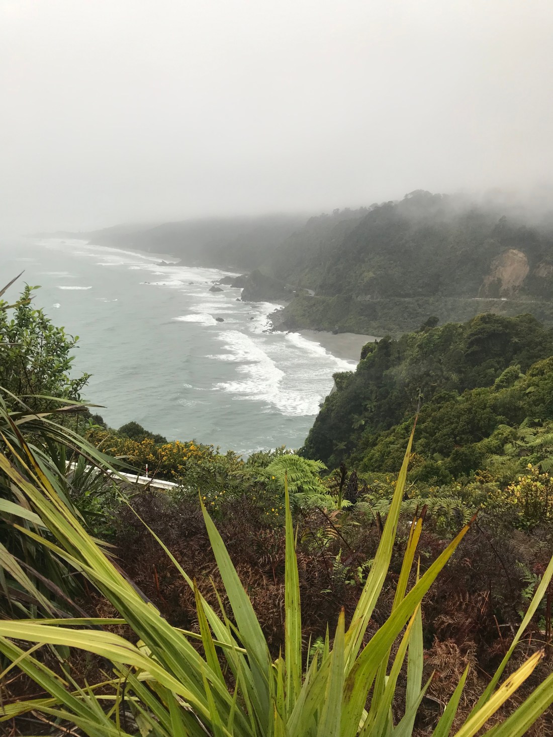
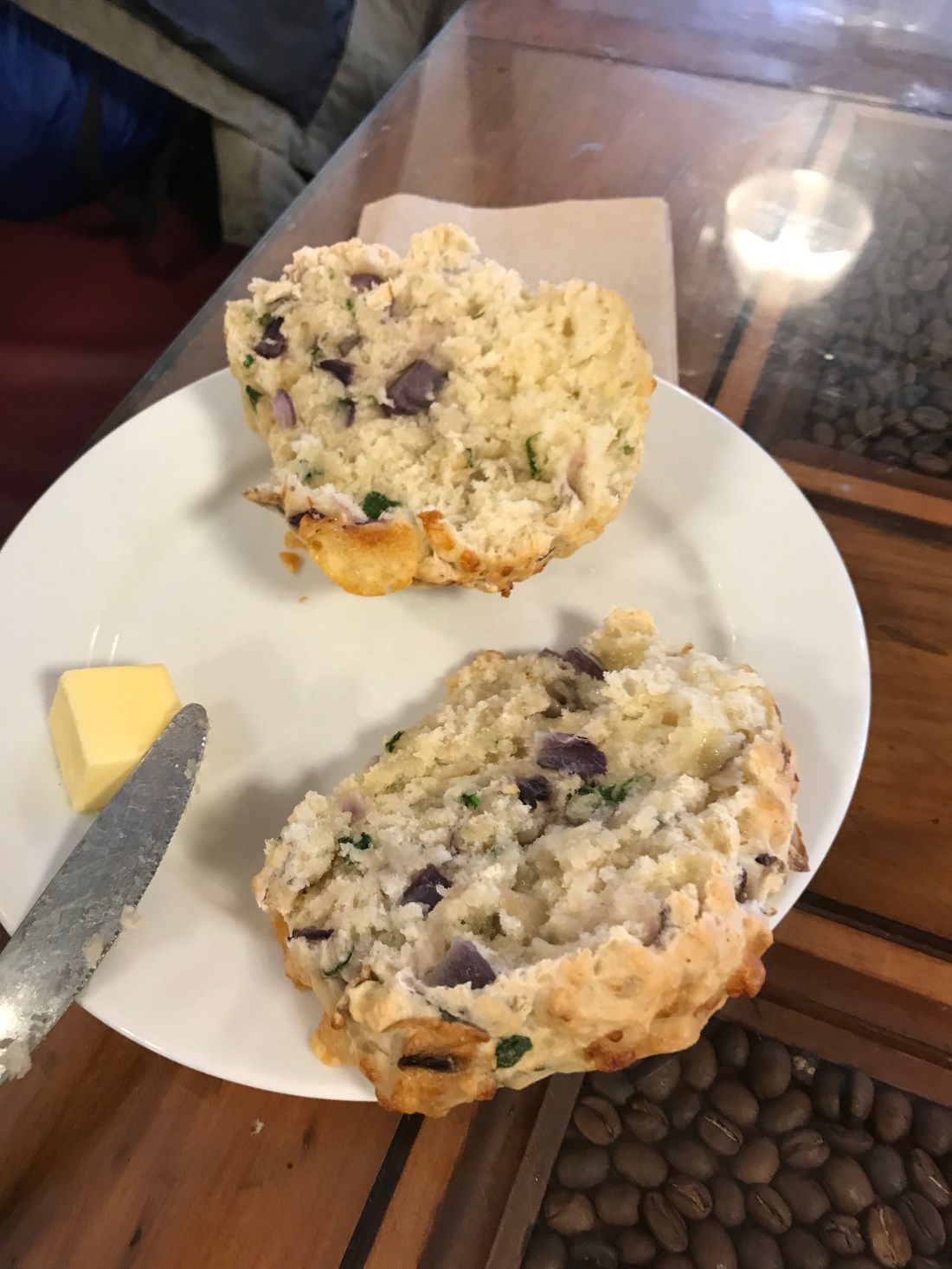
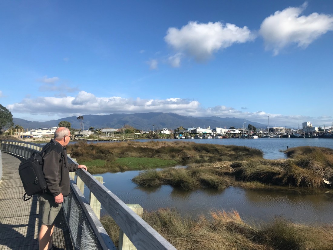
From Westport, we travelled south along the west coast, on the twisty road, through long stretches of mist. Lush greenery extended up the steep hillside to our left, while the cliffs dropped away towards the sea to our right. Every now and again, there were lay-bys to pull into to admire the view over the bays below. For quite a while this route really strongly reminded me of the Pacific Coast Highway in California. The further south we travelled, the heavier the rain became, making me doubly thankful for our second breakfast of warmed scones and coffee.

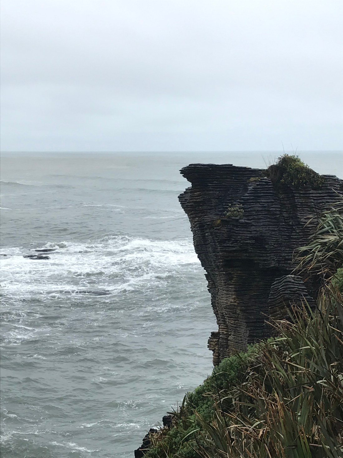
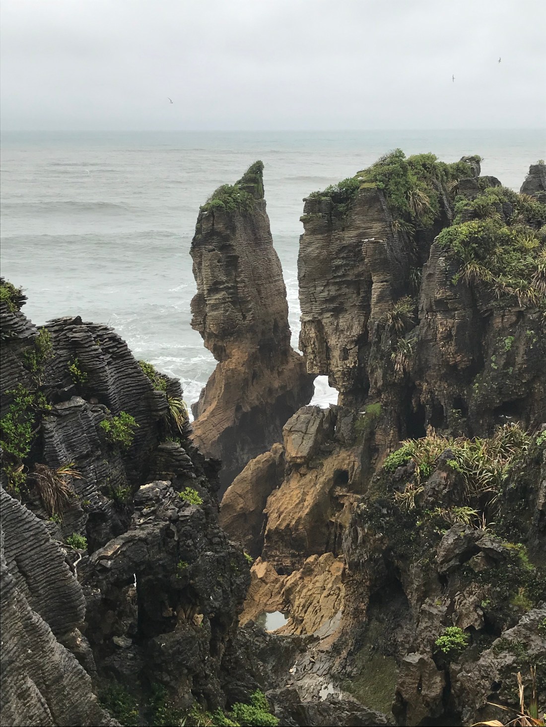
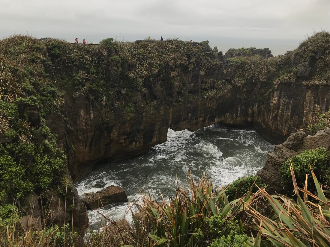
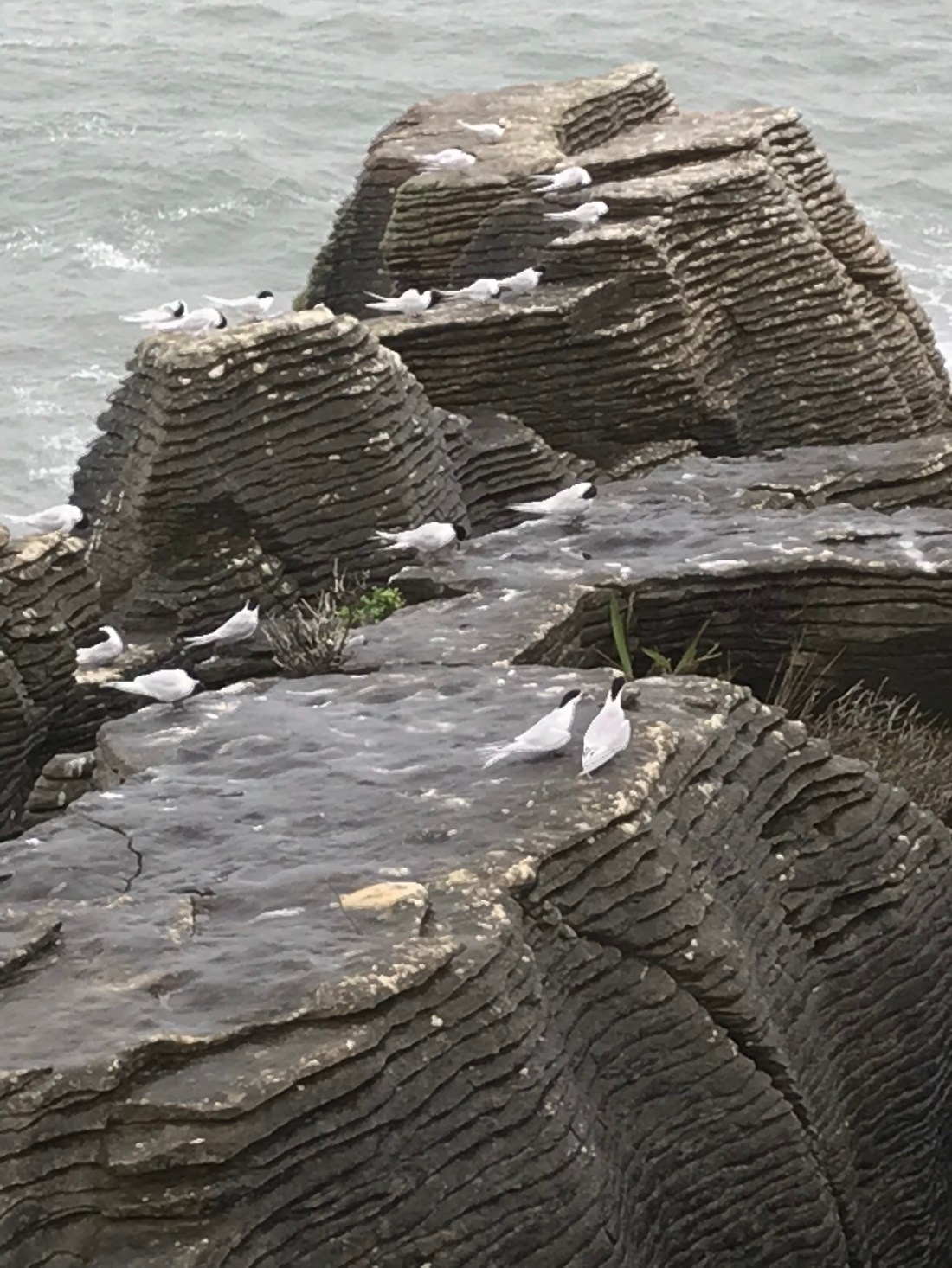
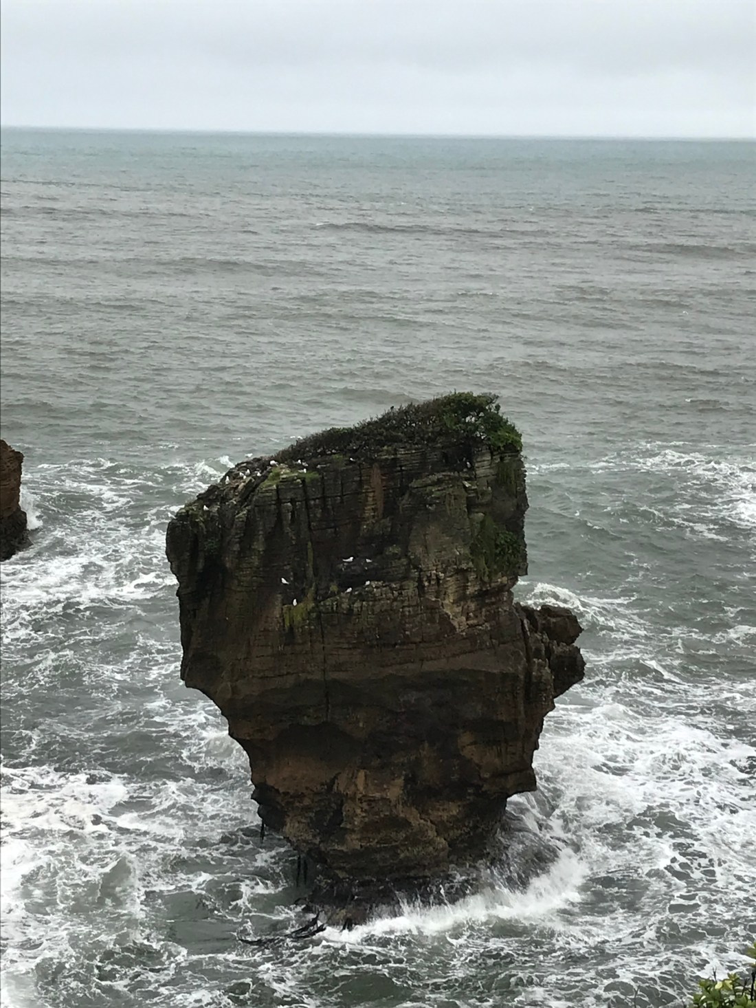
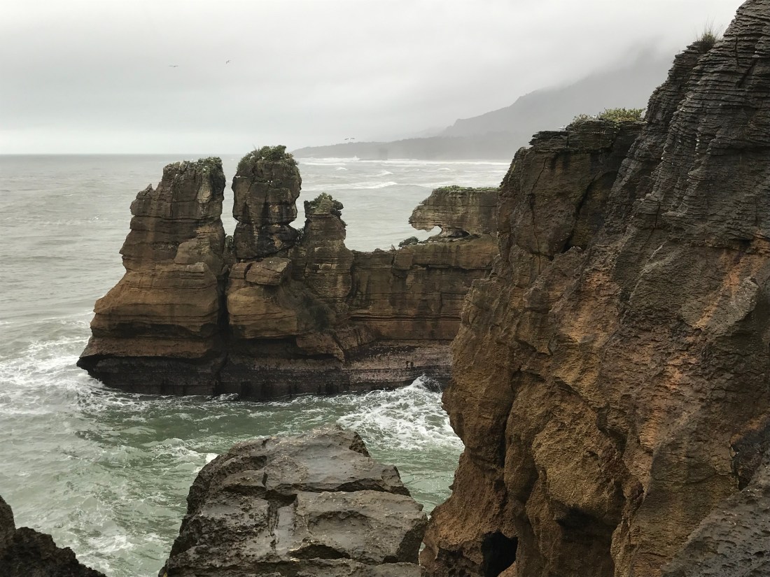
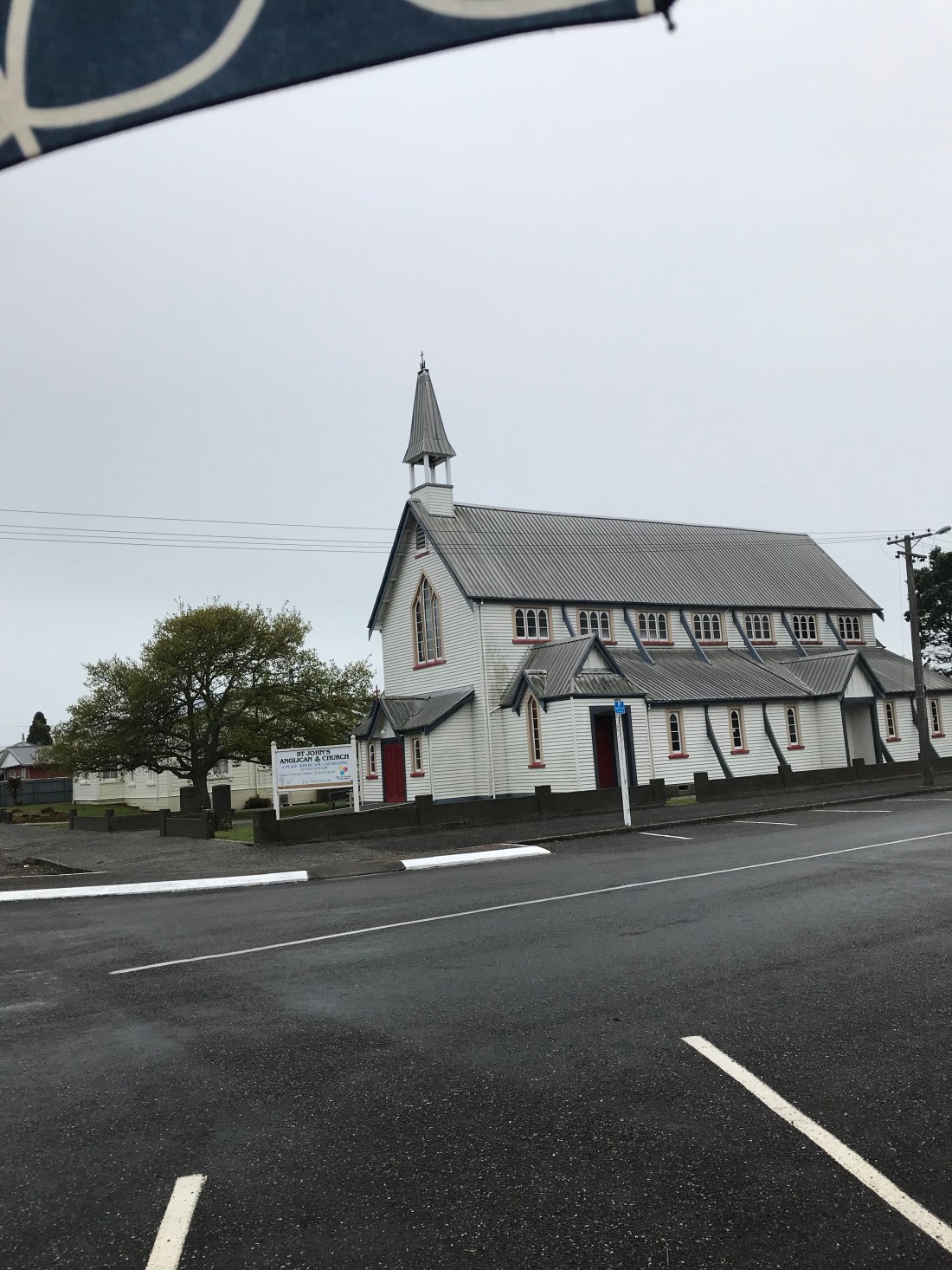
We stopped off at Punakaiki to have a walk around the “Pancake” Rocks and Blowholes. Called pancake because of the flat layers in the rocks looking like stacked pancakes. The noticeboards indicated some confusion among scientists about what exactly has caused this phenomenon.

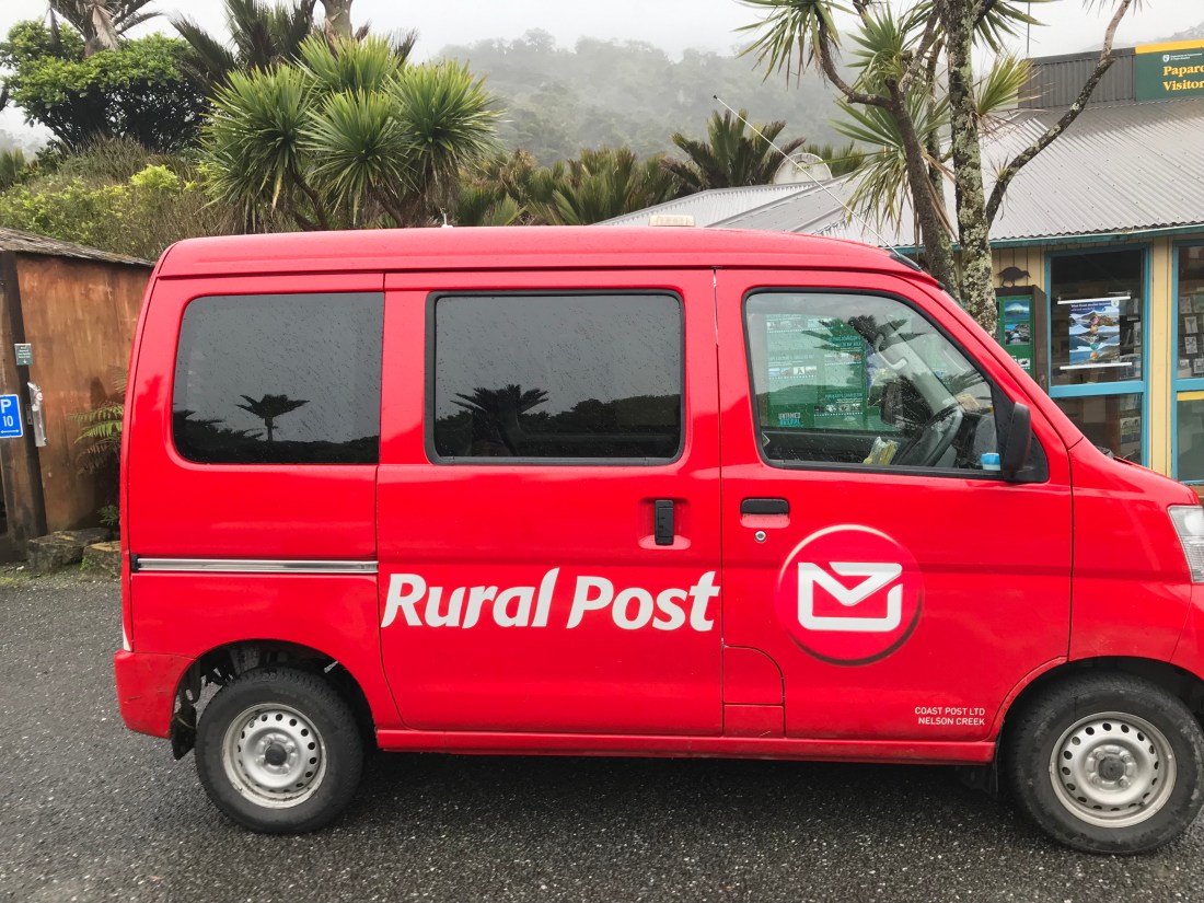
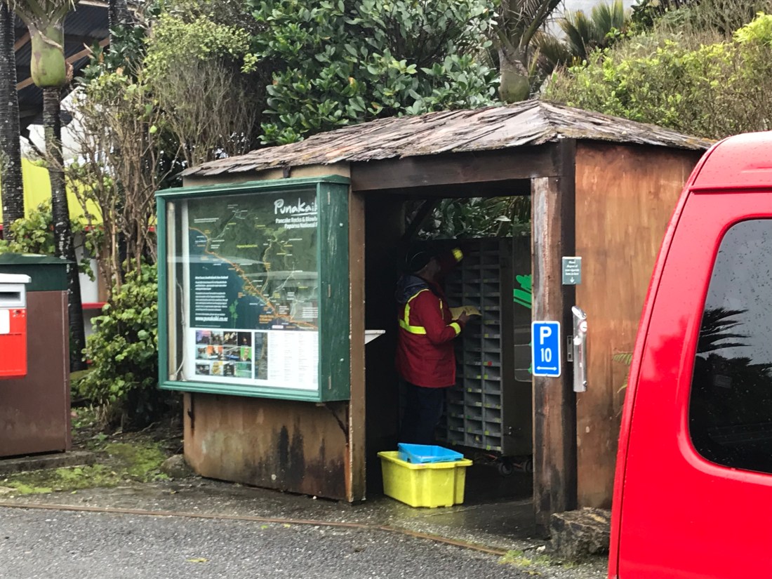
Near the car park, we found a very kiwi phenomenon. We had been driving for a couple of hours passing no settlements, and yet here was the postman, in his bright red van, putting post in all these postboxes for people who must live somewhere nearby:

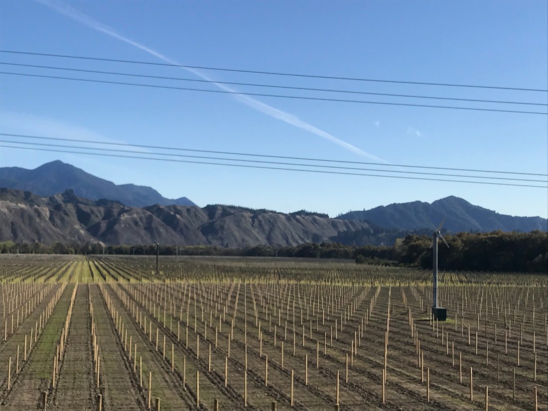
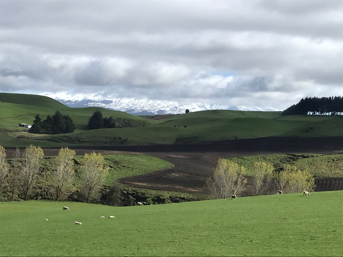
New Zealand has been famous for sheep farming for as long as I can remember. But more recently it has developed a vast dairy cattle farming industry, and also deer farming, too. About which more later. The farmers talk about how they actually mainly farm grass. Because it’s the quality of the grass that improves the quality of the livestock. Occasionally, our progress was slowed by livestock. This instance gives an idea of the numbers of cows involved in each “station” (farm).

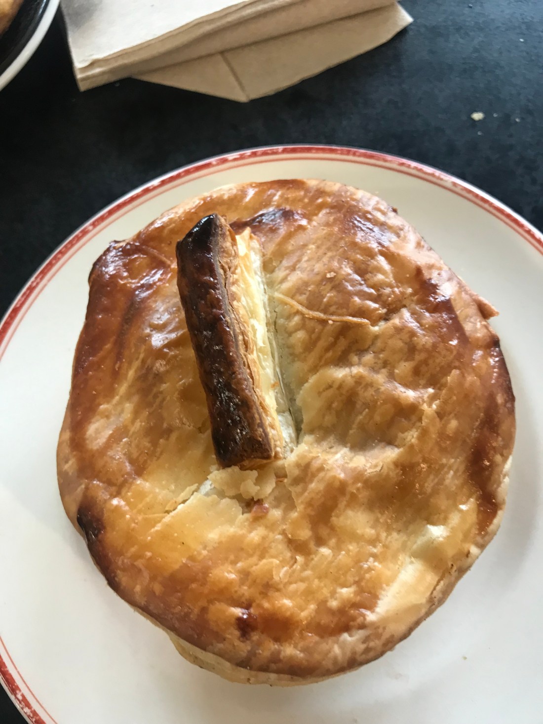
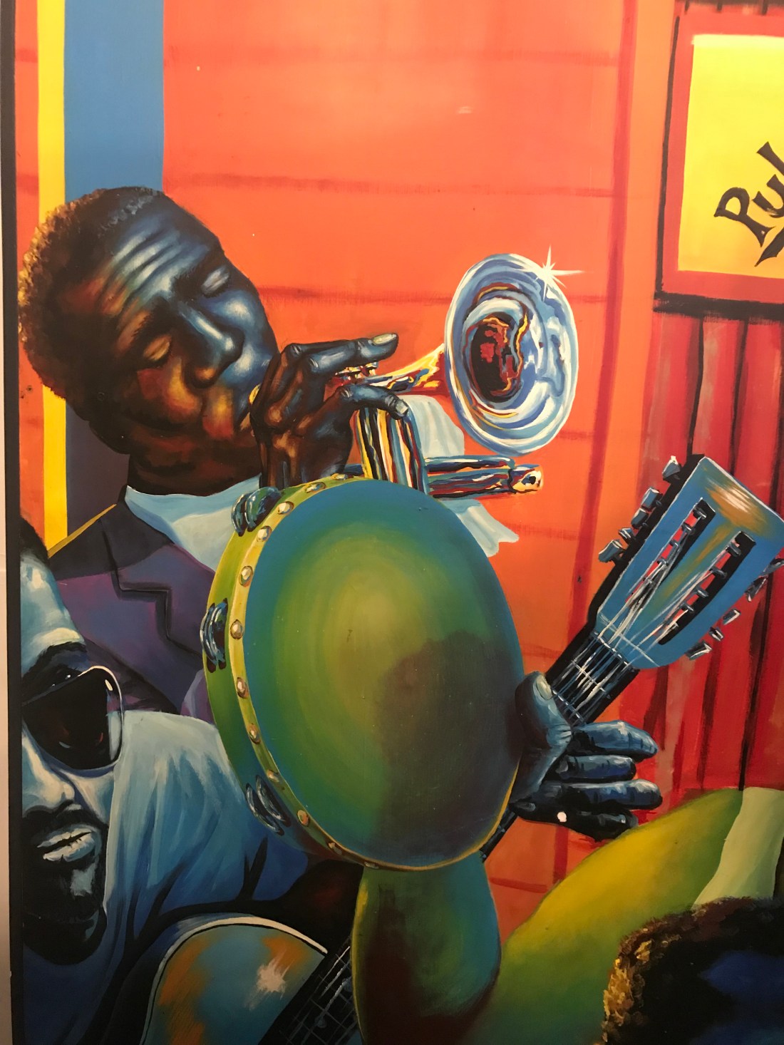
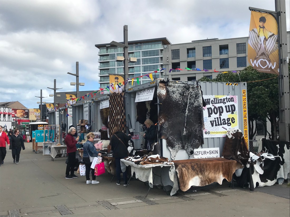
After another couple of hours we stopped for lunch in a café with very good pies; in New Zealand there’s a real thing about pies, which are on offer everywhere. This café also had some great art on the walls:

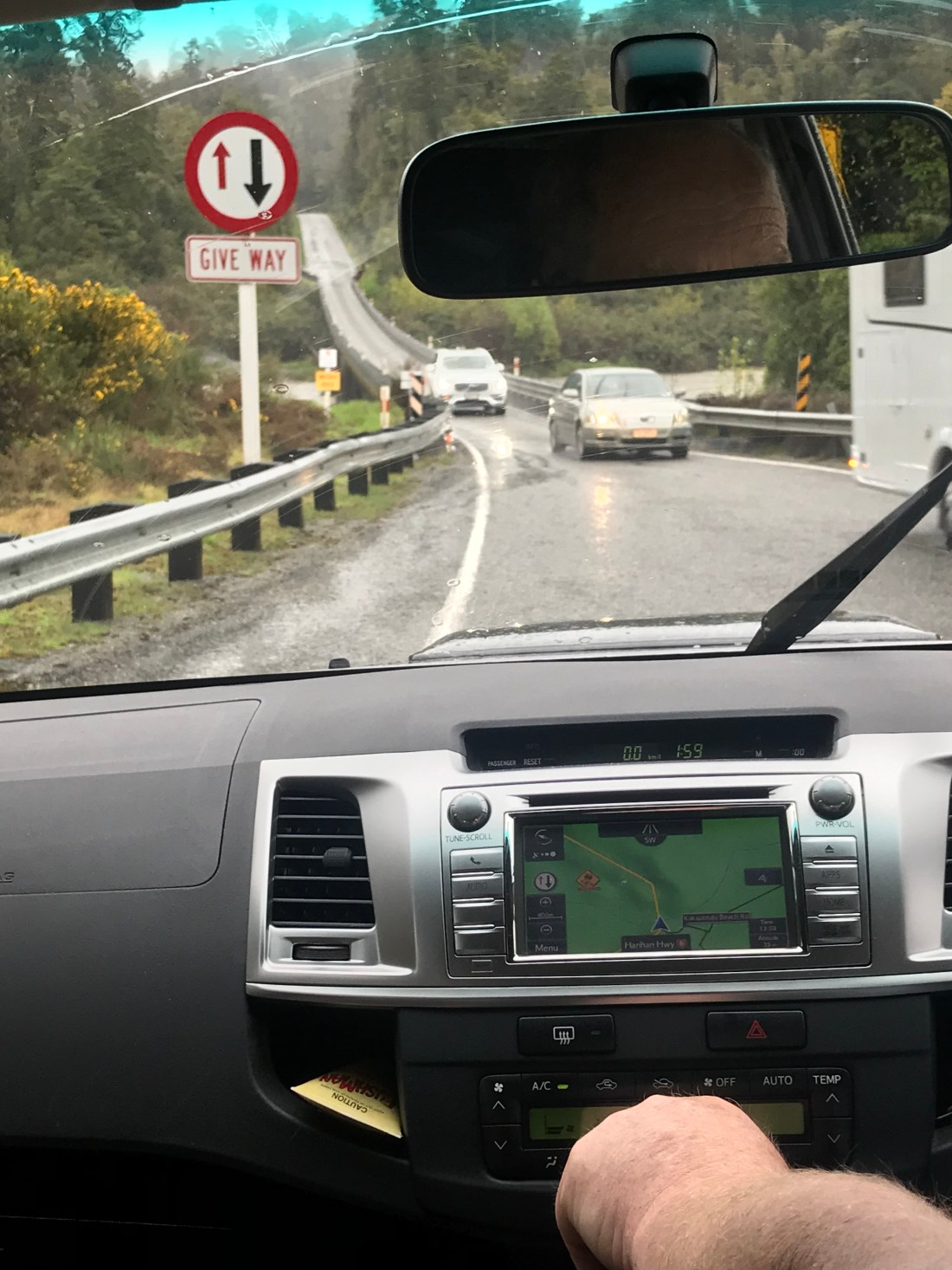
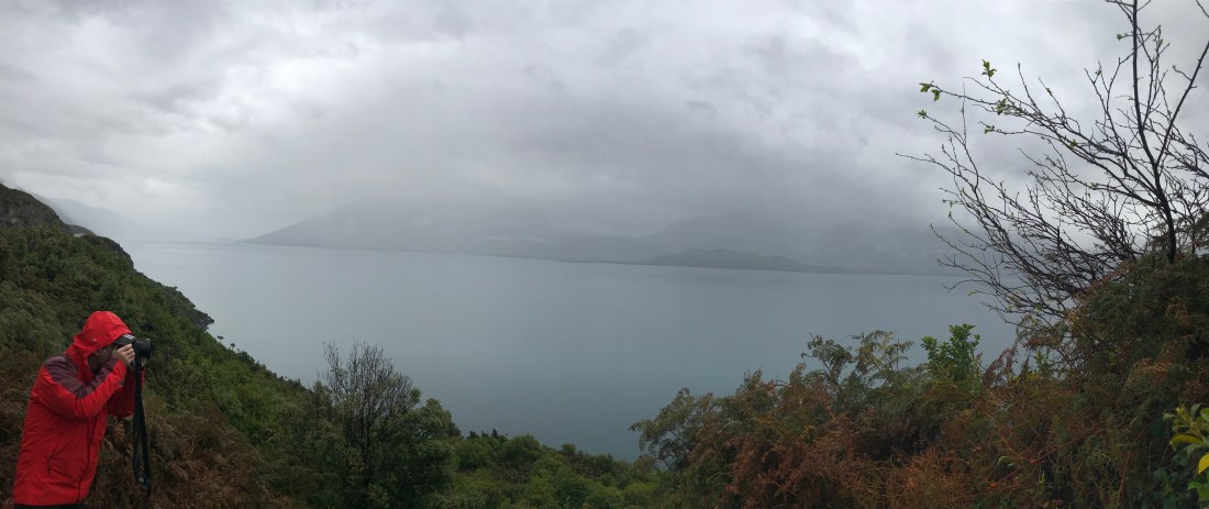
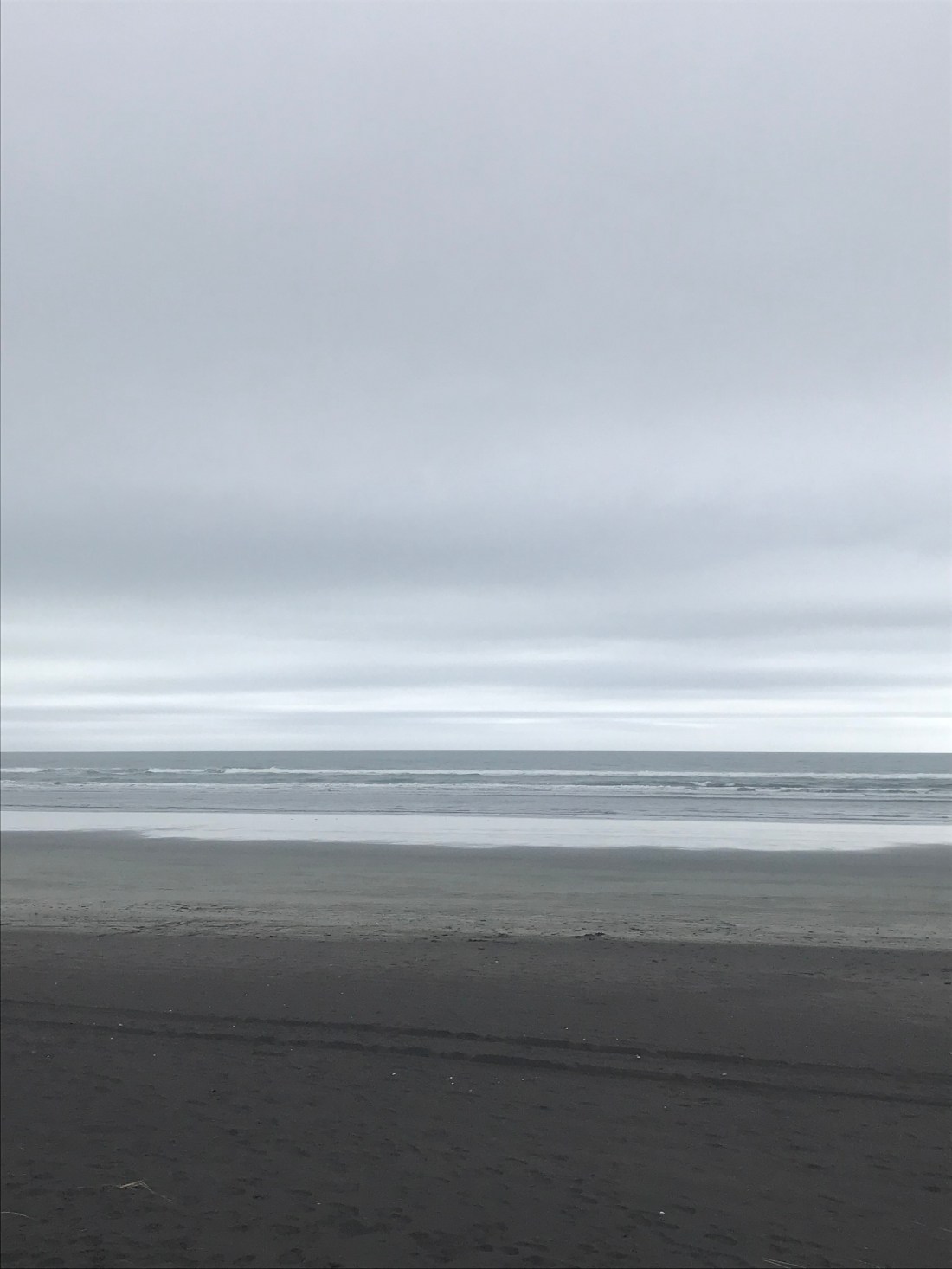
From here on, the rain really set in and this was my view for what seemed like aaaaages:

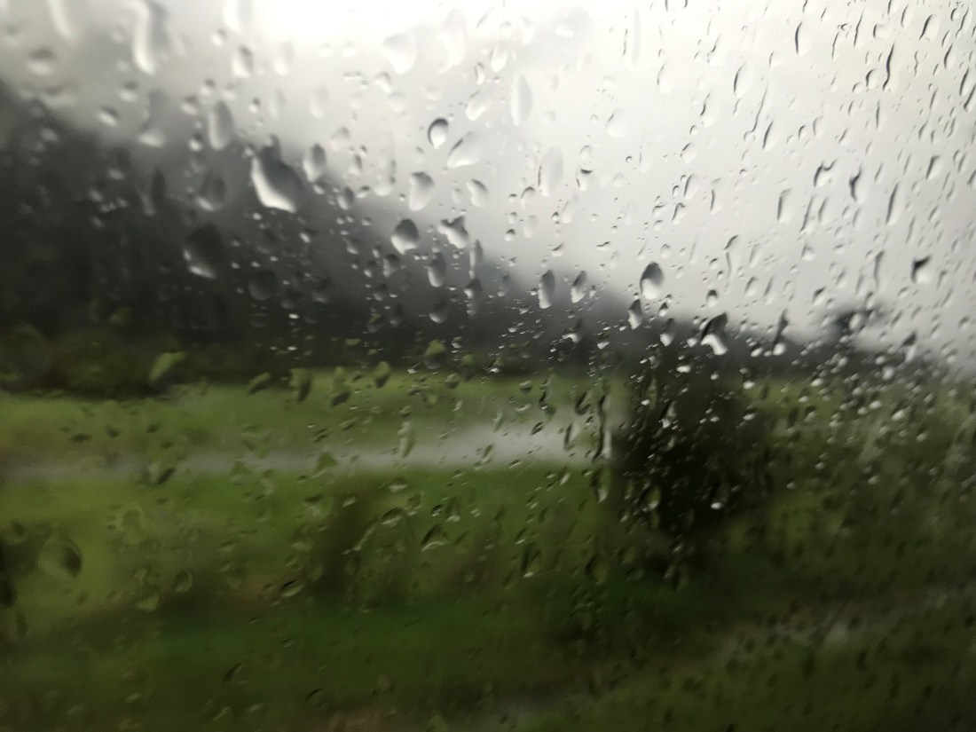
Apparently, this is situation normal for the West coast, which is exposed to the worst the notoriously rough Tasman Sea can throw at it.

The rain was relentless, as it often is here, but I was heartened when I heard that the South Island gets 98% of its electricity from hydropower. 98%! That’s making the most of your natural resources. As our conversations about climate change continue, we could do worse than to think about how a country with such a small population has managed to get its act together so much better than most of the rest of us regarding using renewable energy.

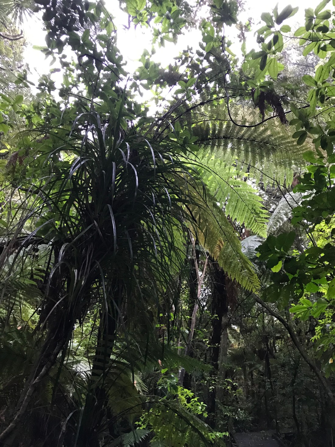
We drove on through vast tracts of subtropical beech forest. Either side of the road was marked with short white posts with red reflectors on them so you would be able to see where it went in the dark.

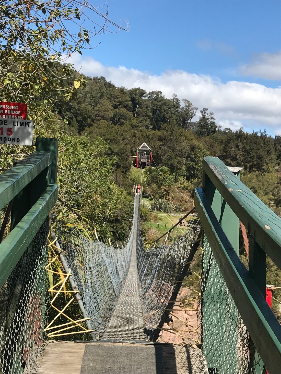
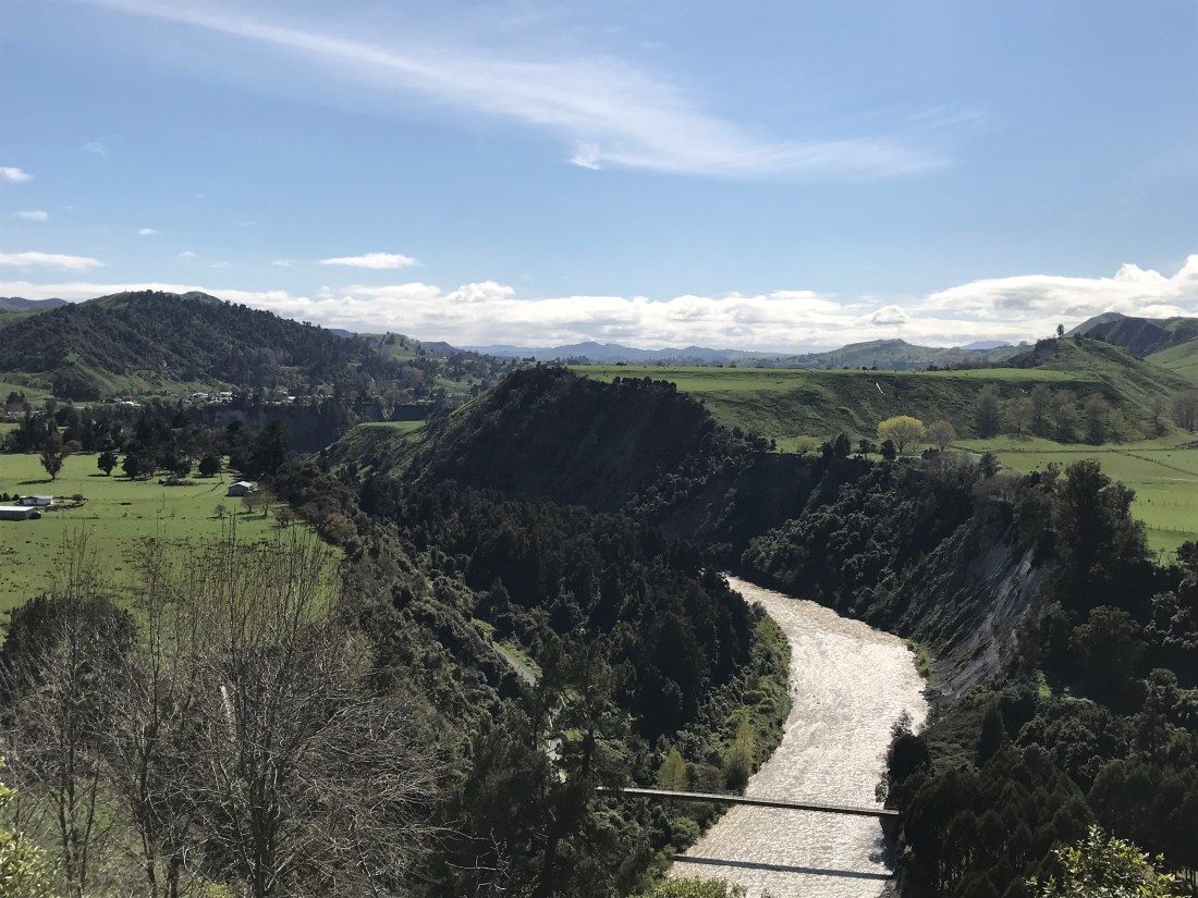
After Hokitika the road often narrowed into single lane bridges that spanned rivers with huge floodplains, which fill up incredibly quickly here because of the sheer quantity of rainfall. I’m not sure but I think sometimes these rivers were something like a quarter of a mile wide.

Waterfalls are not an occasional spectacular phenomenon here. They happen every hundred yards or so. The water fell from the hillsides as from a wet sponge.

Grey hills loomed ahead, shrouded in mist. Then we arrived at the Franz Josef glacier. We were hoping to be able to see the bottom of it, but there was too much rain so they had to close the path that would get us near enough to see it. We walked as far as we could from the car park to see what we could see, but in vain. Within minutes, even with very good wet weather gear on my legs and feet had turned into sponges.

As we drove on, we passed some evocative place names:

Stinky Creek Bridge

Alex’s Knob

Caravans Knob Walk

Wombat Lake

Kiwi Jack’s Creek

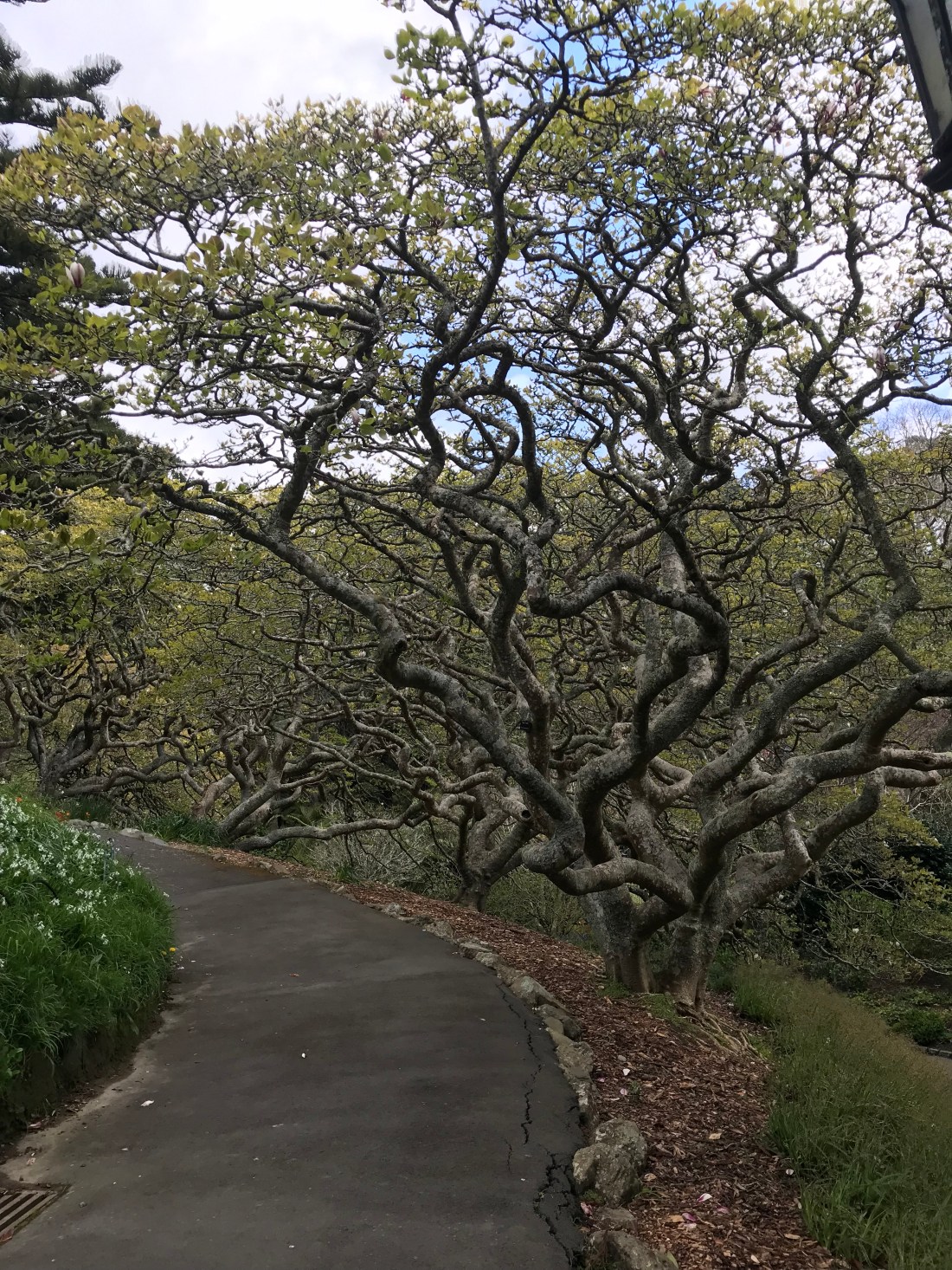
There were stretches of road where we couldn’t actually see much as the valley sides were so steep and covered in lush greenery and much higher than the height of the car. Vertical cliff faces rose above us on either side and often in front of us as the road twisted and turned its way south along the coastline.

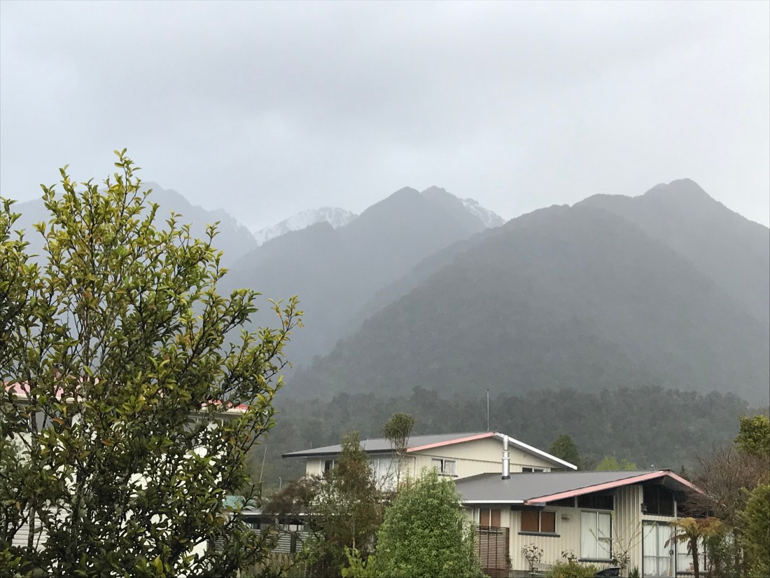
We stopped for the night in the town of Fox next to the Fox Glacier, that we also couldn’t see for mist/cloud/rain. I wrote a note saying, “Where is all this rain coming from??? I wouldn’t have thought there could be so much! I’m sure I heard it stop in the night maybe for about an hour. Then start up again.”

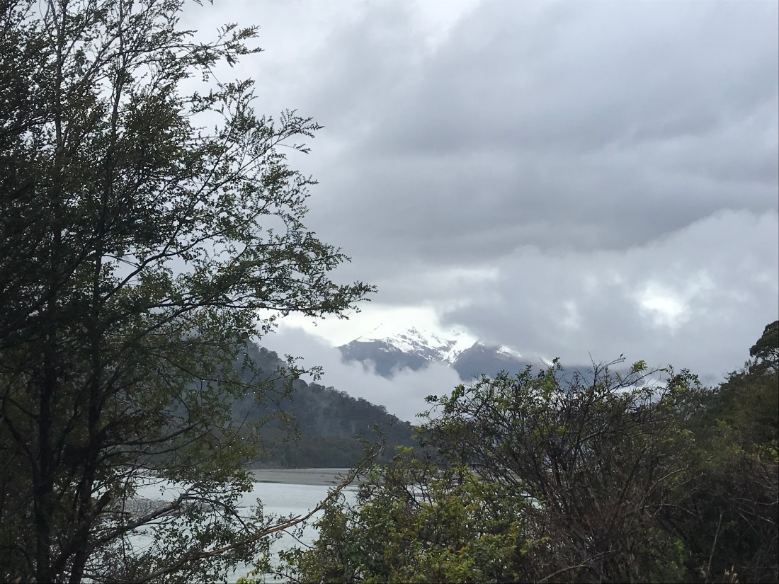
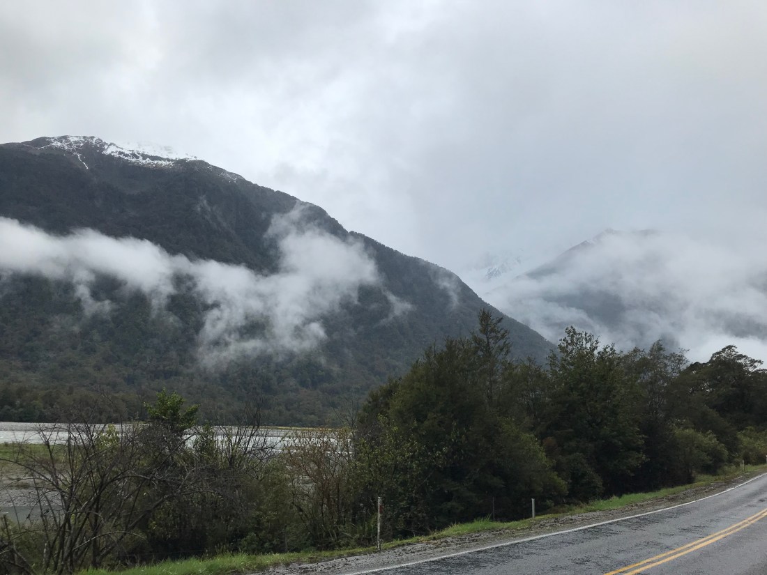
In the morning I was woken by a chaffinch tap tapping on my bedroom window. My uncle kept pointing out tiny bits of snow topped mountains that we were beginning to be able to see, floating eerily in between the clouds and mist. In the morning I went to look where he’d indicated, and finally, though there was still a lot of cloud, began to get more of a glimpse of them. I thought this was pretty awesome. My uncle chuckled and said, “You ain’t seen nothin yet”…

As we progressed further south, we stopped off at the enormous pub in Haast with the lady lighting a welcome open fire, and chatting away to us. The pub is huge and despite there being very few dwellings in the area, apparently it’s packed to the gunwales in season. I found a snakes and ladders game that we played while we warmed up with our coffees and hot chocolate.

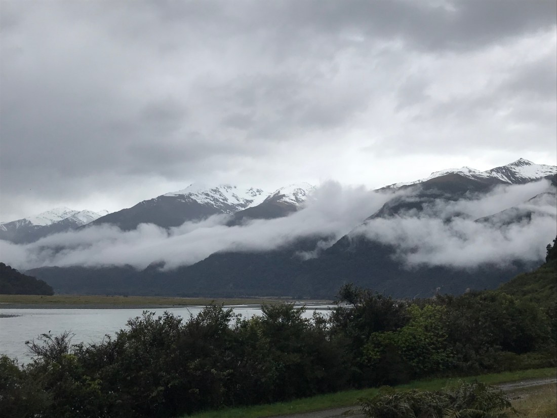
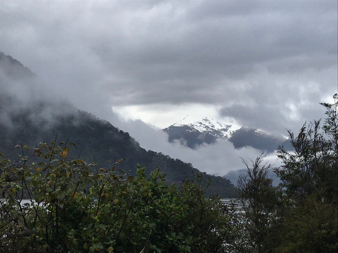
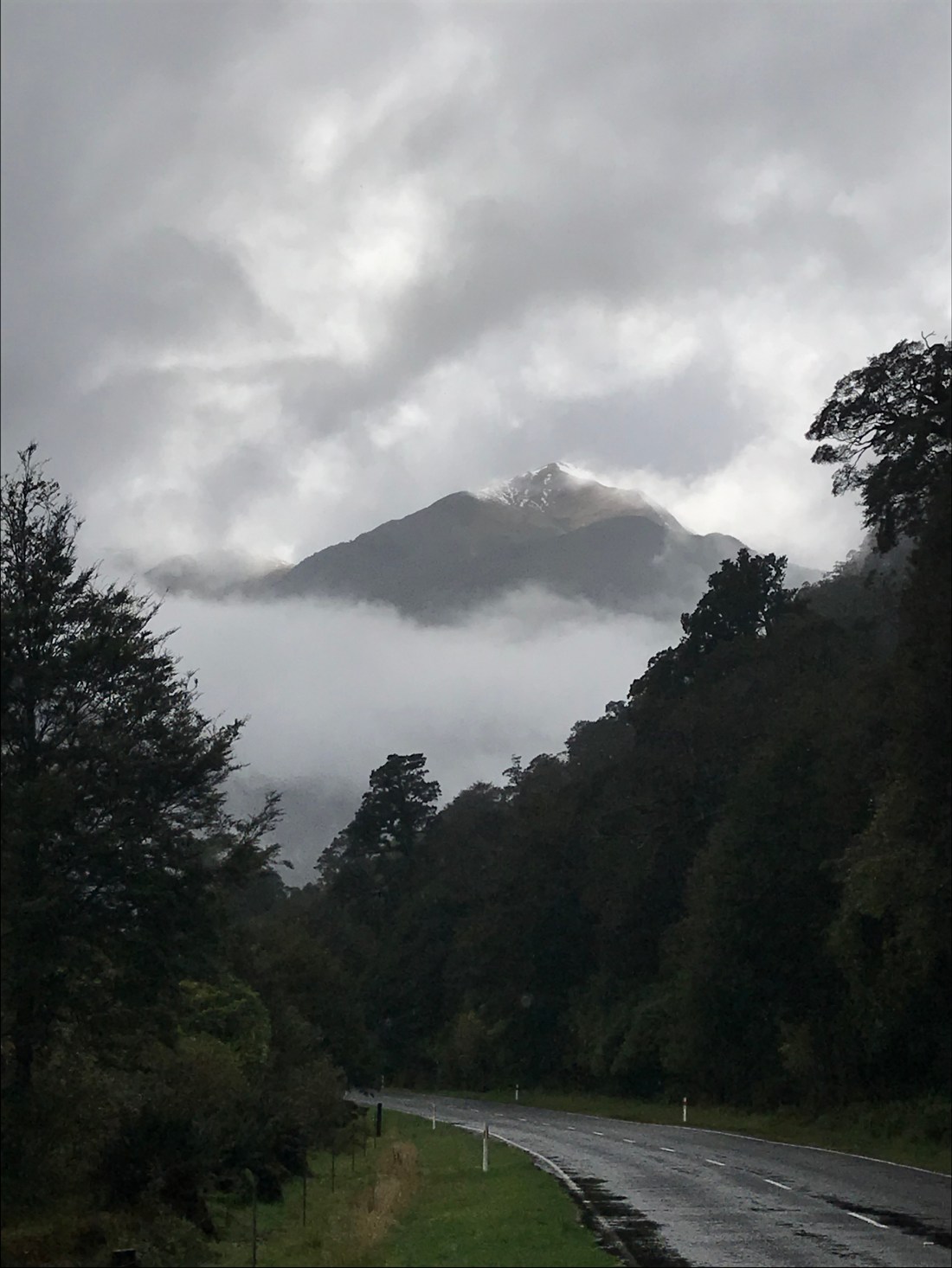
From there we headed on up the Haast Pass. Although the weather was still very cloudy and rainy, more snow topped mountains began to peek through. Occasionally there were really special moments that I couldn’t manage to capture well on my phone camera, where the sun just illuminated a snow covered peak in an extraordinary, other worldly way. My best efforts at capturing that are below.

We stopped briefly at a waterfall, where I saw a brave (foolhardy?) fellow wild swimmer. She provides some scale to the waterfall here:

Having got past the glaciers (which end in huge wide rivers looking quite muddy with branches of trees and boulders occasionally strewn across their width), the water in all the rivers and lakes was crystal clear and freezing cold.

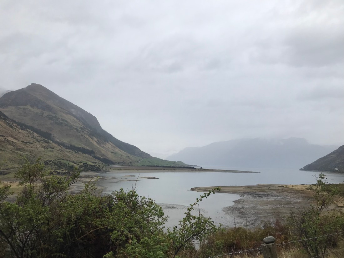
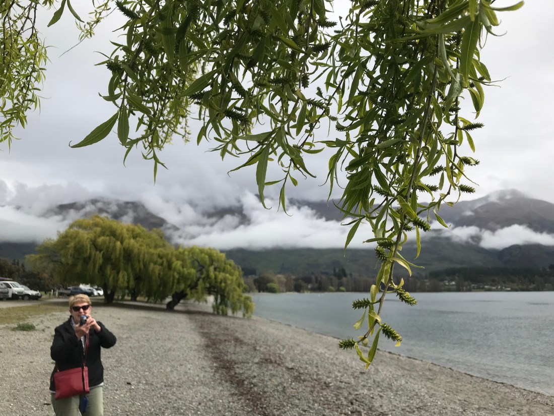
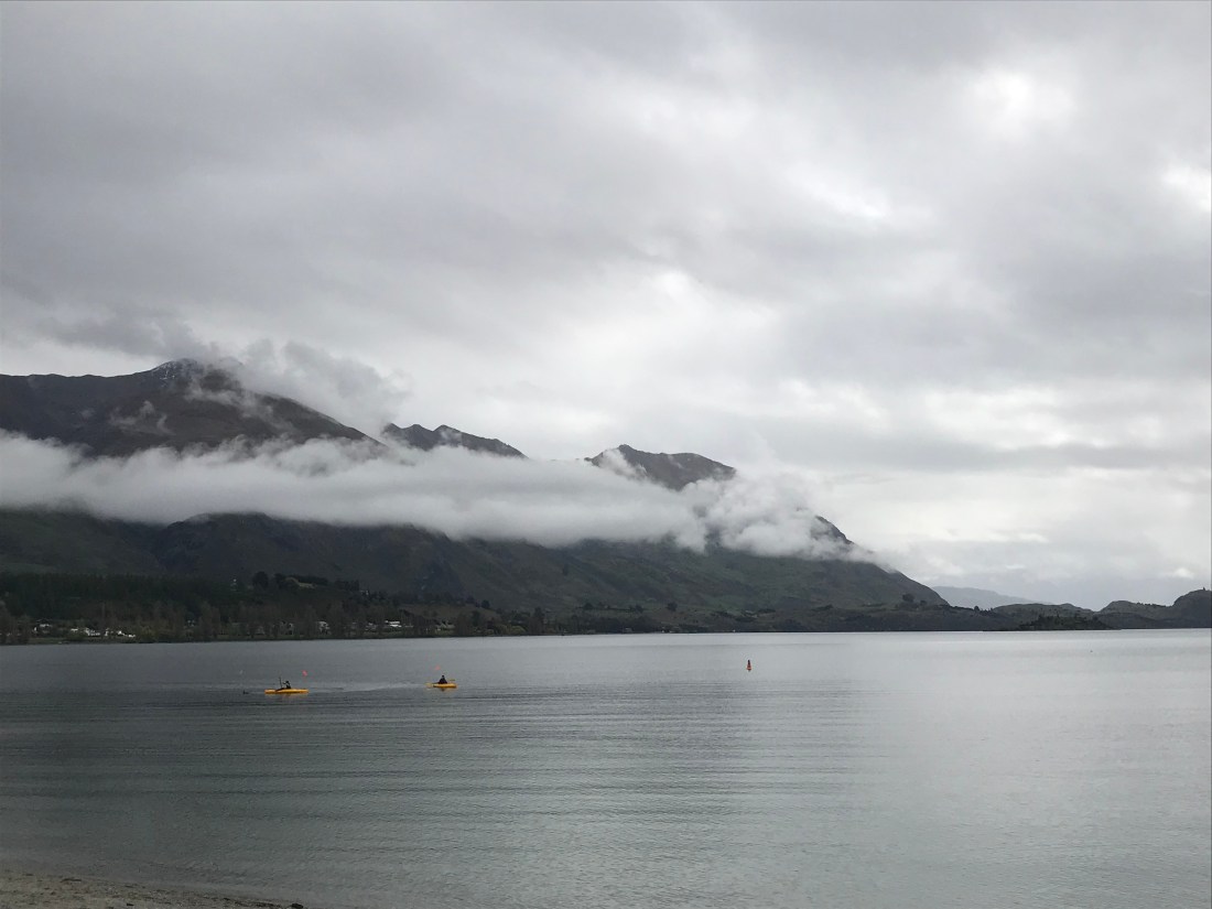
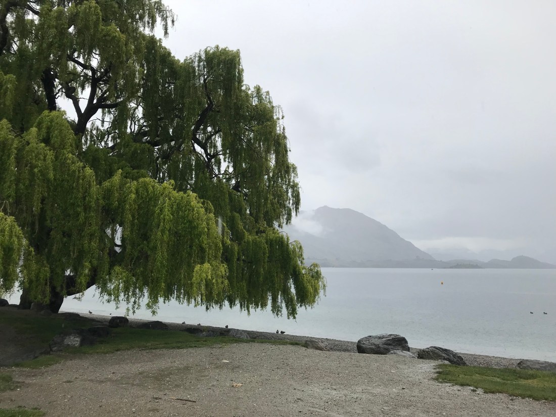
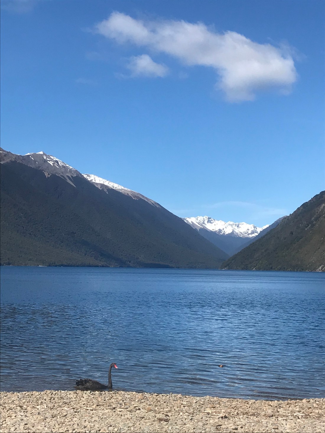
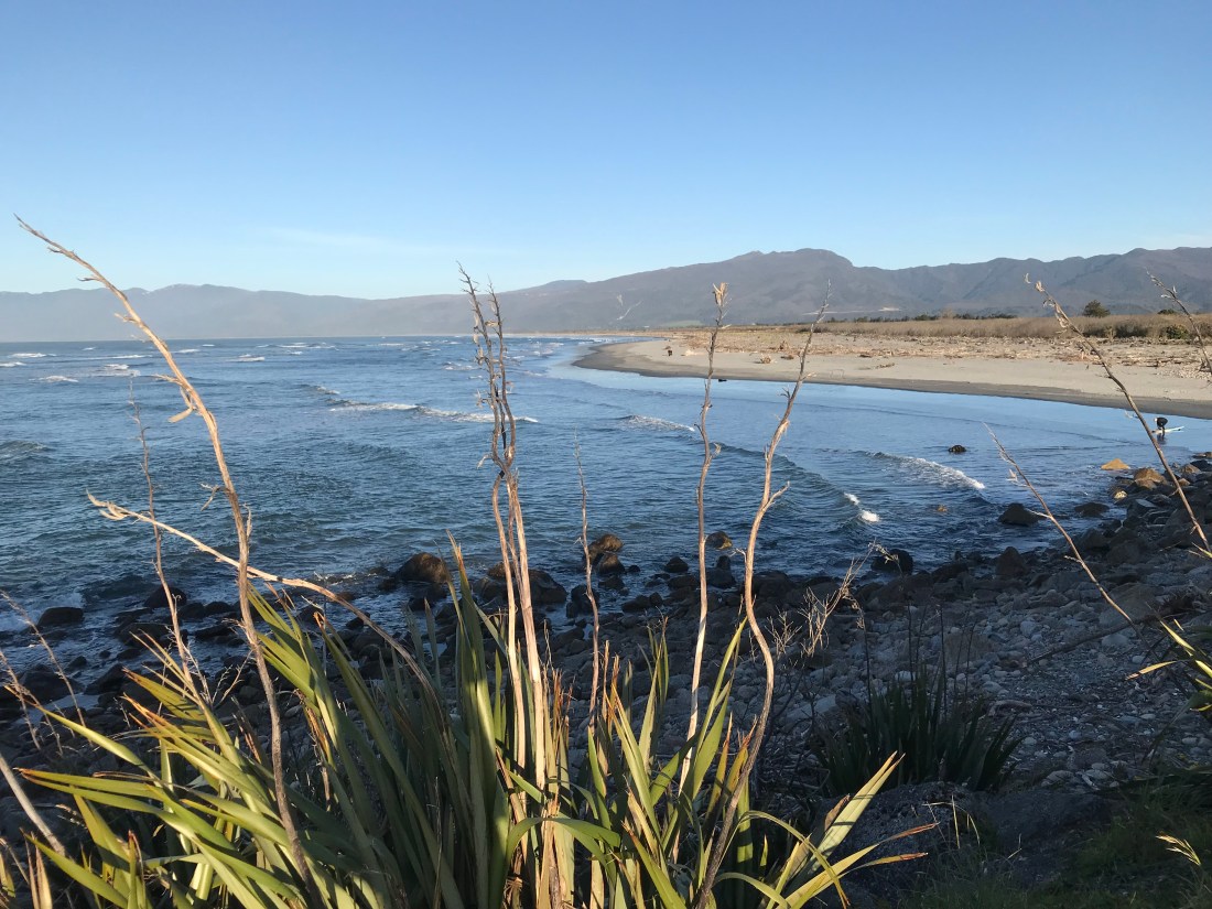
Our first sight of the enormous Lake Wanaka:

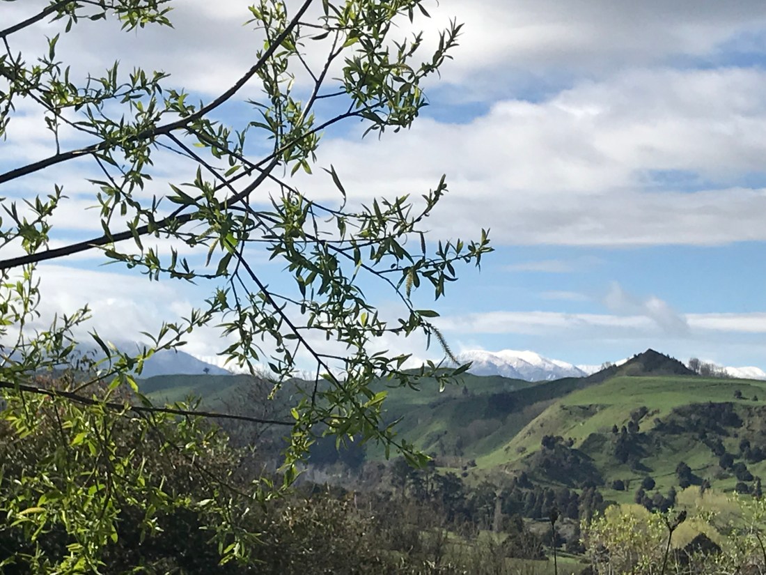
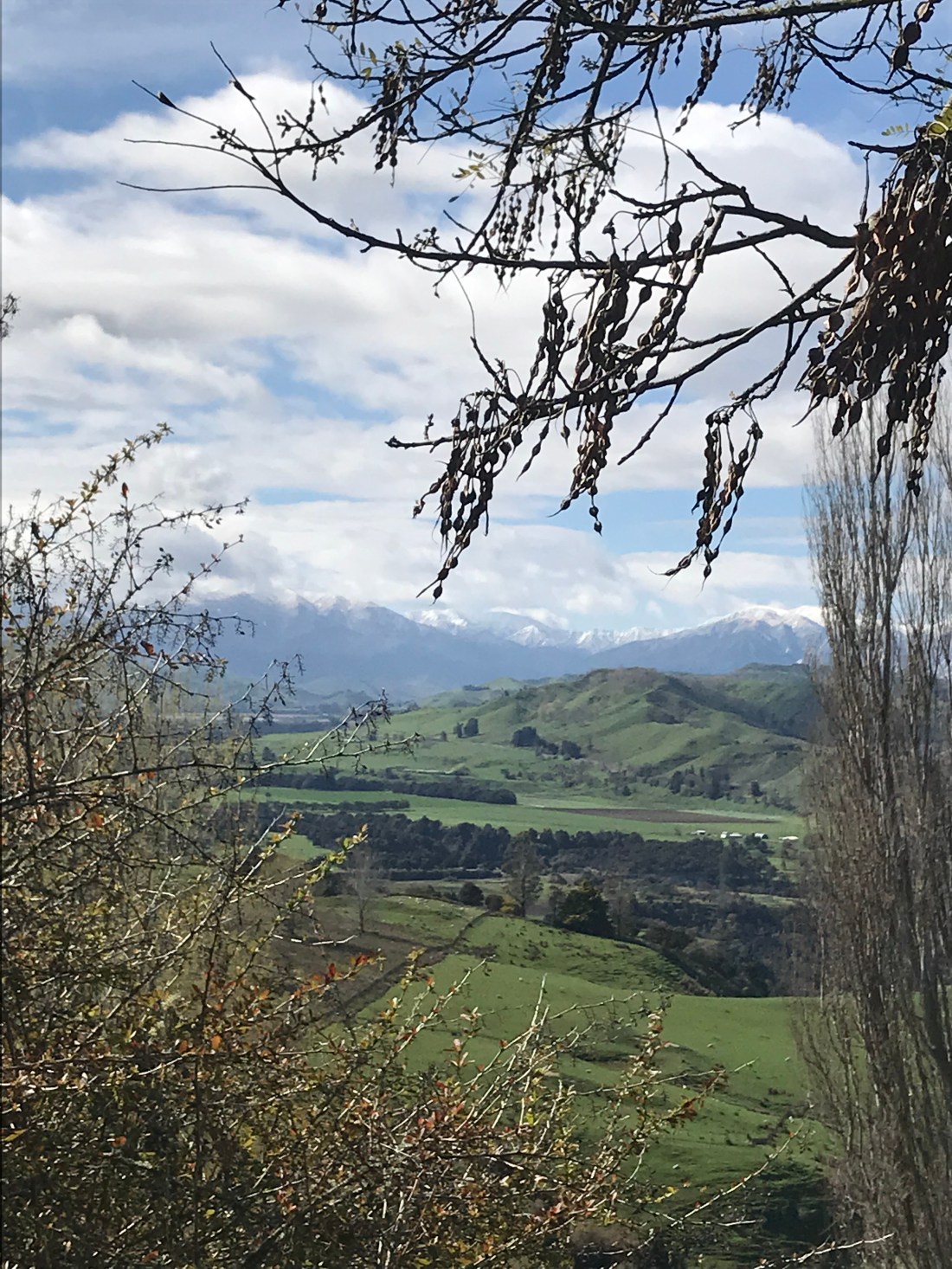
The Wanaka lake front itself, where we stopped for lunch (during which time the rain stopped, and weather cleared), was lined with willows:

Westport

We stayed in Westport for a couple of days. It was great to have some quality time with my friends who I’d not seen for a long time. It was a joy getting to know their children, and joining in with family life, as well as hearing a bit about the joys and challenges of local church life there (Matt is the local Anglican vicar), which bear a lot of similarity to those of local church life in the UK too, although there are significant differences as well. Even in our very short time together, it was interesting to begin to mull over some of the geographical and cultural challenges of the context.

Although the beautiful coast at the main Westport beach is very flat, apparently it has been eroding away really fast as sea levels rise.

You might be able to imagine the scale of this by noticing how close to the sea the rugby goal post is in the picture below. I gather that the other goal post and the other two thirds of the pitch disappeared into the sea over the past decade or so. That’s a pretty sobering thought.

One of the many joys of our time in Westport for me was strokey time with the family cats. This seems to be a theme of my travels!

Here’s old man Micah, very receptive to stroking, no longer a fast mover:

Here he is, obligingly uncomplaining about being buried in toys:

Here’s young Blinky (also receptive to stroking, and also to a warm spot intuit box by the fire):

And here’s Blinky (again) with Pedro, who I barely saw for dust:

Another joy was of course the lamingtons:

And the board games we enjoyed together:

We had a great time, thanks Matt and Jacqui et al.

Blenheim to Westport

Right, so… the South Island of New Zealand is a truly awesome place. I’ll do my best to give you a little insight into it.

On our first night, we stayed in Blenheim, a rather well to do kind of place (as you might expect if you’re from the UK, where this is the name of one of the royal residences).

Our motel was very close to the immaculately cultivated little park, and soon after we arrived, I had to venture out, as we heard the last post being played with a beautiful tone, apparently in the park. I’m not quite sure how they managed this but it was actually a recording rather than a live player. Apparently the musician himself does come and play it live every so often, but most days it’s just a recording. I’m not sure why it’s played every day there, but it was kind of lovely to hear it.

The next day, we set off across the island to the west coast. To begin with, we passed through the famous Marlborough wine producing area, with vineyards lining the route. The rows upon rows of planted vines often have rose bushes planted at the end to attract unwanted insects and also to look lovely. And there are windmills scattered throughout the vineyards, which work to keep the air circulating and stop the frost from damaging them in cold weather.

The road climbed gradually, until we began to see snowy topped mountains. We had reached alpine country. We stopped off at a village called St Arnaud on the banks of Lake Rotoiti. In the local café, as with cafés throughout New Zealand, they served a diverse and immaculately formed variety of coffees (often, as in this case with a little jaffa on the side – an orange chocolate covered in red candy), along with some delicious, freshly baked scones and muffins. I really don’t know how such remote places manage to always have a warm scone or muffin on offer that tastes like they just brought it out of the oven, whatever time of day you arrive!

In the café, there was a poster of the lake, surrounded by mountains. I started to wonder aloud whether I might swim in it. My aunt and uncle looked bemused and a bit surprised at the idea, but an older guy with what looked like a permanent grin plastered on his face and a healthy glow to his skin who was another café customer told us he went swimming in the lake every morning. Encouraged by his example, I decided on the spot to do it.

When we got down to the lake side, the toilets and changing facilities were second to none, and sparklingly clean. (I don’t think many people had used them for a while, though, to be fair! Spring is not the warmest time of year anywhere in New Zealand, but particularly not in alpine country!)

The view from the still crystal clear waters of the lake was awesome, and my dip was most refreshing, I must say. When faced with this view, how could I not plunge into it?

From Lake Rotoiti, we continued on towards the West coast. I finally started to look at my “Maps Me” app, which several seasoned travellers had recommended to me. It maps your location using GPS, so you can use it without being online or within the reach of WiFi. At one point, I saw the Buller Creek “swing bridge” ahead of us on the same road. So I asked Ken and Les whether we might go over it, naïvely thinking it was some bridge the road went over or something. Les said, “Do you want to go over it?” To which I replied “OK, why not?” How innocent I was.

The Buller Gorge swing bridge is one of many such bridges in the South Island that you walk over (you really wouldn’t want to drive over one!). It happens to be the longest one in New Zealand, too. Strung precariously over a steep gorge with a raging torrent roaring beneath it. They get you to pay your $10 to go over it before you can really see it. And with good reason! (To be fair they did explain the gist, and gave what, on reflection, was some pretty scary advice; “If you feel scared just walk faster and don’t look down”, which I ignored, thinking to myself, “C’mon, how bad can it be?”) Suffice it to say that it’s called a swing bridge because it swings. And you are walking on a rigid metal mesh that you can see through all the time. If you pay a bit more, you can walk over it and zip wire back. Not on your nelly. One thing at a time. So over we went.

I am not kidding. I had to make up a song in order to get myself across. And only about halfway across did it occur to me that, having made it across, I would have to repeat the experience in order to get back. Not the sharpest knife in the drawer, me! The thought also occurred to me that someone should be paying me to go over this, not the other way round! The song went something like this: “Somewhere…somewhere inside is a Maori warrior” (repeat, add infinitum). Well, it got me across. And back. Just about!

On the far side of the bridge there’s a short bushwalk you can do, which was quite effective at calming my nerves to face the bridge back. The markers on this tree show you how deep the river has been in recent years. It’s difficult to get your head around just how much rainfall the South Island has, and how quickly rivers become deep raging torrents, but here’s a starter for ten, with my uncle providing a bit of scale. Bear in mind that he’s standing on a riverbank about maybe 15 feet above where the water level was at the time:

Having traversed the bridge safely back to the car, we continued our journey. We were driving along increasingly narrow and winding roads on the side of hills with steep valleys and gorges dropping away on one side or another, with lush greenery pretty much everywhere.

The further we went on these remote roads, meeting very little traffic, the more I began to wonder what Westport would be like. My friends moved there from Christchurch less than a year ago, and we were going to stay with them for a couple of days. I found it hard to believe that anyone could live somewhere so remote, that required so many miles of windy road to get to them.

Then we arrived in Westport, which was really a surprisingly normal sort of town, considering how remote it is. Because of its location, it does have a surprising number of shops selling stuff that I’d normally expect only in a bigger city. As we arrived in the late afternoon, the sun was up, so we went for a walk to a local beach with my friends and their children.

On the way to the beach, we walked past numerous people fishing for whitebait. The white planks of wood are put under the water close to shore so that people can see these tiny translucent fish as hey swim past, and then scoop them up into their nets.

Having arrived at the beach, the children all braved the chilly sea in their wetsuits, while my friend Jacqui miraculously produced a tub of ice cream and cones for us to enjoy in the sun. Lovely!

From North to South Island

Our ferry trip across from the North to the South Island took us, after quite a while on the open sea, along the Marlborough Sound.

There are really no words for this quiet, stupendous journey. My uncle, who served in the British Navy in his time, tells me that sailors who train here can sail pretty much anywhere. The ferry slows so as not to disturb the wildlife too much, and sails apparently straight at the land, which turns out to be the narrowest gap between craggy islets and grassy shorelines. It was an almost eerily beautiful sail. Quite a few people were standing out on deck near me, all of us were speechless. The landscape seemed to invite quiet wonder.

Wellington

Aha! We have a reliable interweb connection again so I am poised with all my draft posts to catch up with myself! It will take a few days still but here’s the last post from the North Island of New Zealand to be going on with…

We stayed just outside Wellington on the West coast at a place called Paraparaumu or Paraparaparam or Pram depending on how local/familiar/lazy about place names you want to be.

As evening fell, we went for a walk along the beach. Think darkish sand, loooong beach, people walking dogs, Kapiti Island looming a bit with the evening sun behind it, the headland marking the start of the chunk of land that has Wellington on the other side of it in the distance. No matter how long we walked towards the headland it didn’t seem to get any closer.

Some oyster catchers on Pram beach (look at their little legs go!):

The next day we walked to the train station and caught a train (about an hour) into Wellington. After about 15 mins on the train, we finally caught up with that headland. It’s deceptively far away, which is something that happens quite a bit in NZ, where views are often uninterrupted by housing or industrial buildings for miles, so the other end of a view can seem a lot closer than it often turns out to be.

We went up the Wellington cable car (more like a funicular railway), and after admiring awesome views of the harbour, walked down into the city through the colourful Botanical Gardens.

After lunch we wandered along the seafront, obligatory ice creams in hand. You take your life in your hands strolling leisurely along Wellington waterfront, as umpteen people scoot, cycle or skateboard past at great speed nearly taking you out!

We saw some people dragon boating too:

The superlative ice creams seemed to warrant some proper attention, so we sat down on a bench for a while, slurping away and people watching.

People watching can lead to shameless stereotyping. Which I’m about to indulge in. So I saw middle aged classy ladies hot footing along in designer outfits clutching little designer paper bags containing their latest purchases, young people scooting past at 60mph or cycling lazily in circles with mates, all on hired scooters or bikes. Occasionally some bright spark would scoot past faster than the speed of light and then suddenly skid to a halt and leave the hired scooter in front of us. You look away, look back, and one parked scooter has suddenly become two.

Every year, Wellington hosts the “World of Wearable Art” (WOW for short), which could explain the number of people wearing very creative clothing, piercing and makeup combinations sitting on the low curbs chatting away. But I also had the impression that’s probably quite an all year round phenomenon for Wellington, too.

Then there were business people marching past purposefully, scarves tucked in against the wind, couples out for a stroll, children racing along (one little girl in a fairy dress and leg warmers on a scooter was particularly cute).

We met up with my cousin and his partner for post work drinks at Flamingo Joe’s, where we were served by a vertically challenged Portuguese waiter (he described himself as a hobbit) with a great sense of humour and commendably honest advice regarding cocktails.

From there, we drove around the very scenic Wellington coastline, stopping for photo opportunities of impressive wind surfers (Wellington is known for being very windy, so ideal for windsurfers I presume) and quiet little beaches, round to a trendy restaurant by the surfers’ beach next to the airport.

Wellington airport is a phenomenon in itself. The planes appear to fly into the middle of the city. They land on what seems to be an unfeasibly short runway between what seems to be an unfeasibly narrow gap between the hills, before taking off from the other end of the runway. I’m still confused about exactly l how this works!

To round off a lovely day, we drove up Mount Victoria and enjoyed looking at the 360 degree nighttime panorama of the city with all its coastline.

The next day, after I’d had a chance for some strokey time with King Fred (I’ve been missing our cat, big time!), we went to the wildlife and bird sanctuary in Kapiti called Nga Manu. It was raining, but we saw the kiwi feeding in the dark of the night time shed. Kiwis are an incredibly rare, endangered species of flightless bird, very difficult to spot in the wild. It was quite amazing that we got to see this one even in such controlled conditions.

Other birds we saw included the wood pigeon (a much more splendid bird than wood pigeons in the UK), a couple of Keas (very good at prising windows from their rubber seals with their beaks apparently!), lots of mallard ducks, pukekos (think mini road runners with windmill feet), tuis, tiny silver eyes, the ubiquitous sparrows (known here as café birds because they often fly into cafés), among others. We also saw various kinds of ancient lizards and some eels at feeding time. Euw!

The rain seemed so much a part of the landscape here I didn’t mind braving it for a quick hot foot round the bush walk with Tash. Our only problem was whether to bother with the brolly or not, as when it was up it blocked our view of the tree canopy and any birds flying by. But nothing stopped us hearing the magical call of the tuis and all the other beautiful birdsong around.

The next day, after a hearty breakfast altogether on the seafront at Pram, my aunt and uncle and I set off for the ferry to the South Island…

On the road (again)

A confession; I am actually now in the South of the South Island. I’ve been so taken up with being here and visiting people I’ve been neglecting the blog! So here are some pictures of our journey down towards Wellington to speed things up…

Truck drivers are more often female in New Zealand than in the UK. Here’s one lady stopping off for a quick bite in the cab of a fabulously shiny truck. I have a couple of long distance lorry driver friends (male and female) who have talked about enjoying the passing countryside on their travels. Well, I must say, this would be a pretty awesome place to see some spectacular countryside…
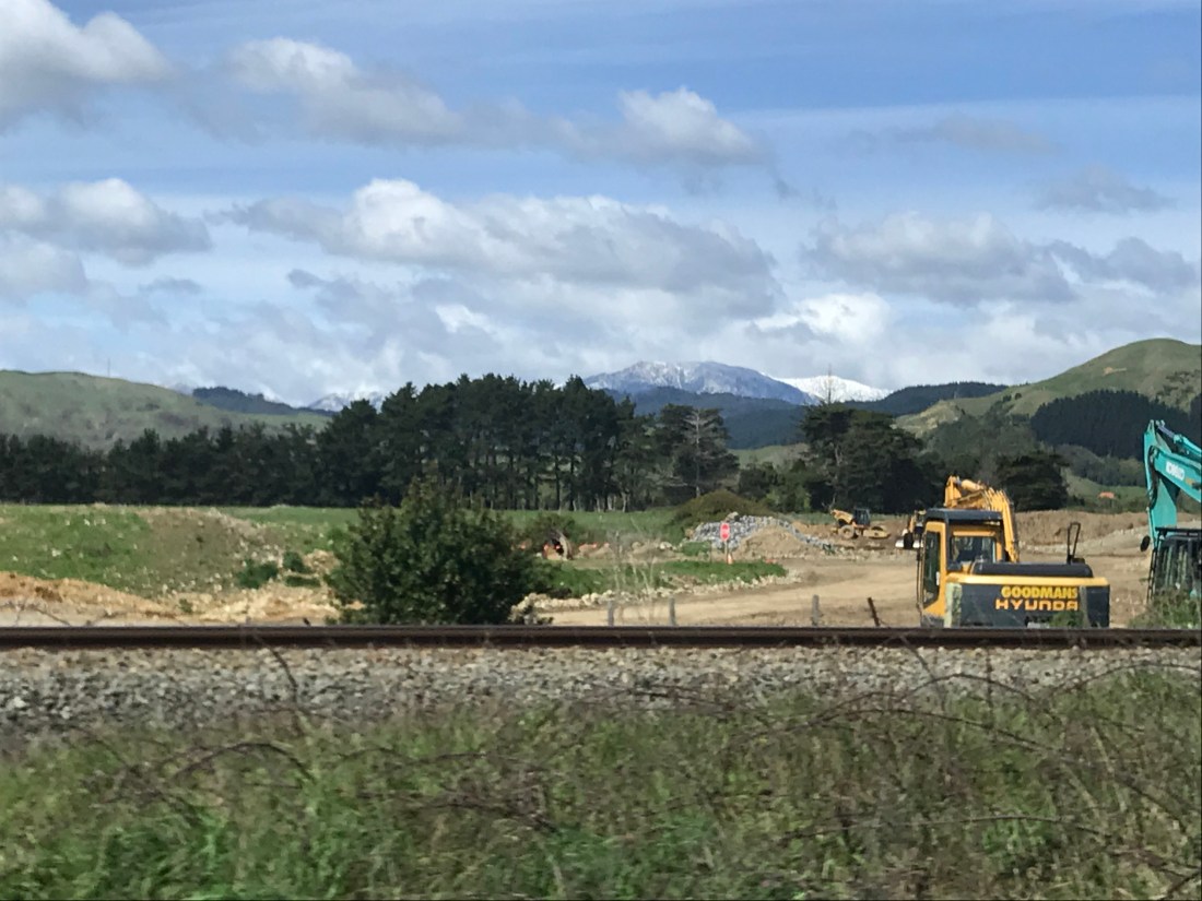
…and quite a number of new housing developments too (they seem to be springing up almost everywhere. I hope this won’t ruin the sparsely inhabited wilderness that is New Zealand)…

Tangiwai Disaster

En route we stopped at the Tangiwai Memorial Site, which commemorates the lives of the 151 people who died and the brave actions of the train driver, guard, fireman and three passing car drivers, who contributed to the saving of the other 134 passengers on board a train that shot off the end of a broken bridge on Christmas Eve 1953. The bridge was destroyed by a massive lahar (volcanic mudflow) when Mount Ruapehu erupted. There was no way of getting a message to the driver quickly enough to enable him to stop the train in time to avoid the disaster. But one of the drivers managed to catch his attention, which meant that just under half the passengers were saved (the driver and crew died).

I couldn’t help noticing that only one of the lost carriages was first class, and all those that were saved were first class (along with the postal carriage). Maybe that’s why they put the first class carriages at the back of trains?

I also couldn’t help noticing that they built the new bridge right by the site of the old one! And one of the noticeboards made the point that we still don’t really understand lahars enough to be able to predict when they are going to happen. And this bridge is still in a vulnerable spot if / when it happens again. I guess we understand more though, and we can send signals more quickly. And the bridge maybe stronger too. (Though I’m not sure there are bridge building materials that could hope to withstand the kind of forces involved.) In the meantime, the trainline is still used regularly, and indeed if you look carefully below, you should be able to spot a train making its way across the bridge as I watched.

Where adventures (and carrots) begin…

Soon we arrived in the alpine village of Ohakune for the night. Ohakune doesn’t have a lot to mark it out, but it is famous for being a carrot growing region thanks to some enterprising early Chinese settlers, who I think may have diversified when the goldfields ran dry. (I am discovering that New Zealand was another place where people came to seek their fortune panning for gold in the mid 1800s, along with California.)

On our way out the next morning, we saw the big carrot I’d seen on the map (looking about a quarter of the size of the town according to the map – not entirely over exaggerated!)… and to my delight, various carrot related playground features. It’s always good to not take yourself too seriously, I find. (That’s my excuse, anyway!) In the background you may be able to spot the snowy mountaintops.